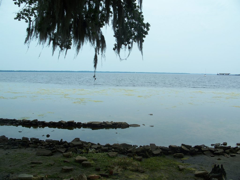
Flooding along the St. Johns River is forecast to continue through the weekend, though alert types and timing vary by area, according to the National Weather Service Jacksonville.
An earlier NWS Coastal Flood Warning covered parts of the St. Johns River basin through early Saturday. On Friday afternoon, the agency canceled the warning for western St. Johns County and replaced it with a Coastal Flood Advisory through 5 a.m. Sunday, Nov. 1.
A Friday morning briefing from NWS Jacksonville forecast minor to moderate flooding near high tide through the weekend, according to the NWS Jacksonville key messages briefing. The NWS Friday afternoon update listed western St. Johns County and the northeast and southeast coastal parts of the county among the areas under a flood advisory through 5 a.m. Sunday, Nov. 1.
That means residents in St. Johns, Fruit Cove and Switzerland could see water where it does not belong for several more days.
What to expect
The NWS said minor flooding could affect lots, parks and roads, with isolated road closures possible. Drivers should avoid flooded roads and barricades.
High astronomical tides combined with gusty northeasterly winds are driving the hazards, according to the NWS Jacksonville forecast page. A high rip current risk remained in effect at all area beaches through Sunday evening, Nov. 1. A high surf advisory for 4- to 6-foot breakers was in effect through midnight Friday.
The NWS briefing also warns of life-threatening rip currents and states the ocean is dangerous for anyone who enters.
Isolated thunderstorms are possible Sunday, Nov. 1, and Sunday night, with heavy rainfall possible across portions of northeast Florida south of I-10, according to the briefing.
No tropical cyclone activity is expected during the next seven days.
County safety guidance still applies
St. Johns County Emergency Management urged residents on Oct. 23 to take precautions ahead of the weather pattern. That guidance remains relevant:
- Do not drive through flooded roadways. Turn around and find another route.
- Avoid flood-prone areas during high tide.
- Stay out of the surf.
- Secure outdoor items that could blow around.
NWS Jacksonville also warned residents not to drive around barricades and to avoid flood-prone areas, according to an Oct. 26 advisory.
The county said the combination of strengthening northeast winds and the highest astronomical tides of the year was expected to worsen tidal flooding.
Residents can monitor conditions at weather.gov/jax and sign up for Alert St. Johns notifications through the county's Emergency Management page.