Tidal flooding along the St. Johns River basin will persist through at least Wednesday, the National Weather Service Jacksonville warned, pushing hazards well past the weekend window residents prepared for.
The NWS Jacksonville website stated Oct. 26 that Coastal Flood Warnings have been extended through at least Tuesday, Oct. 27, for the Atlantic coastal counties, the Intracoastal Waterway and the entire St. Johns River basin. A separate NWS post on Sunday, Oct. 25, said moderate to locally major coastal and tidal flooding would continue through at least mid-week.
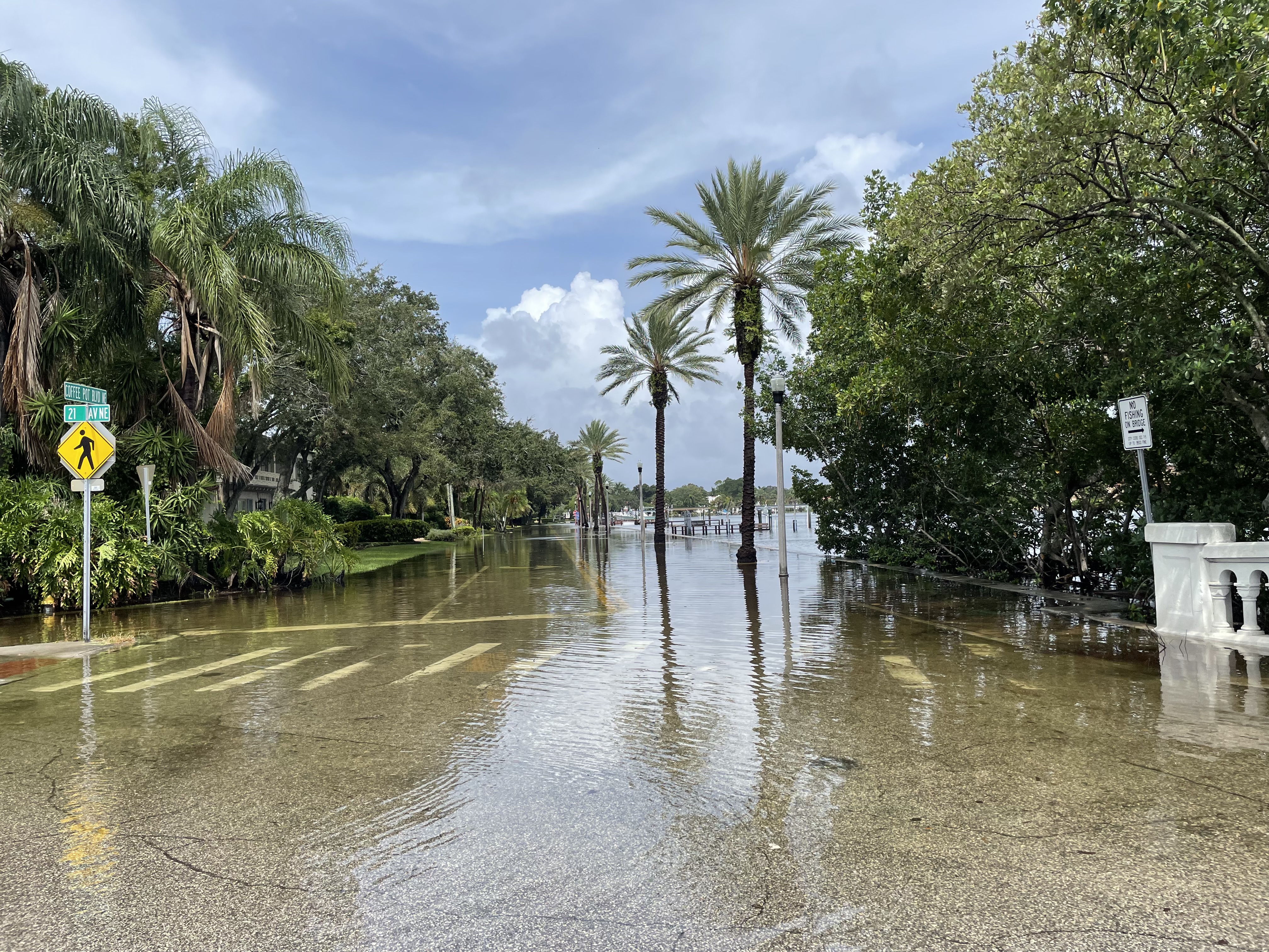
Water levels are expected to peak at 2.0 to 3.5 feet above normally dry ground around high tide. The worst flooding was expected Sunday night into Monday, Oct. 26, according to the NWS.
Strong northeasterly winds are the driver. Sustained speeds of 20 to 30 mph, with gusts reaching 35 to 45 mph, are combining with high astronomical tides tied to the full moon. No named storm is present.
As we reported Oct. 22, St. Johns County Emergency Management urged residents to prepare for hazardous conditions over the weekend. The First Coast Observer reported that the agency issued its public-safety advisory on Oct. 23, warning of moderate to major tidal flooding from Saturday, Oct. 24, through Monday.
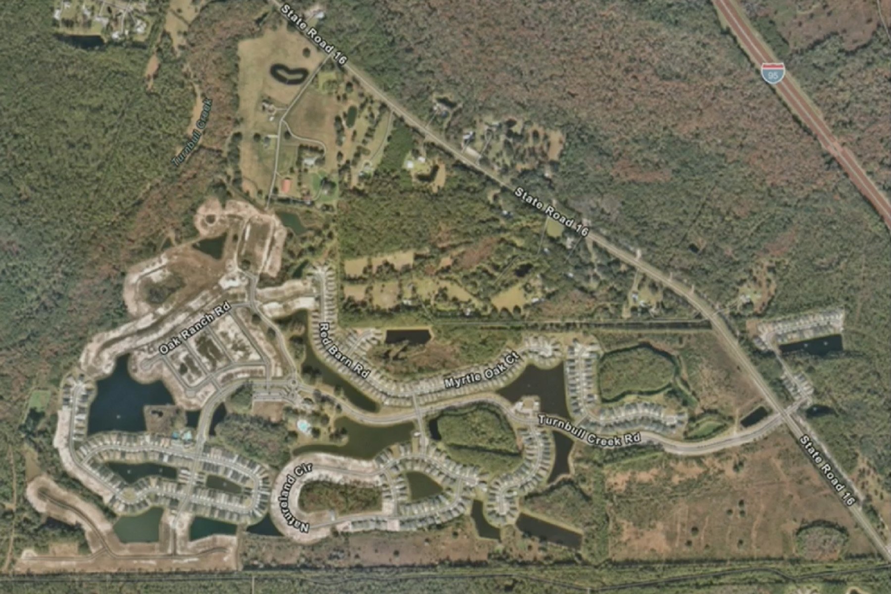
The updated NWS forecast pushes the threat further into the week. A Coastal Flood Warning for the St. Johns River basin covers Western St. Johns, Eastern Clay and Eastern Putnam counties through 5 a.m. Wednesday, Oct. 28, according to NWS warning zones compiled by Traveling Lifestyle. Numerous roads could be closed, and low-lying homes, businesses and some critical infrastructure could be inundated, the NWS warned.
Residents along the river and its tributaries should avoid flooded roadways, secure boats and outdoor property, and stay out of dangerous surf. The St. Johns Citizen reported that residents can sign up for Alert St. Johns notifications through the county's Emergency Management webpage.
A High Surf Advisory remains in effect through early Wednesday, with breaking waves of 8 to 10 feet at northeast Florida beaches. A high rip current risk continues through late Tuesday night.