Tidal flooding along the St. Johns River could worsen this weekend as stronger onshore winds push water toward northeast Florida’s coast and connected waterways, the National Weather Service Jacksonville office warns.
In its 3:20 p.m. Thursday, Oct. 22, forecast discussion, the agency said moderate tidal and coastal flooding is likely during the upcoming weekend. Coastal and marine impacts are expected to worsen beginning Friday night, with minor-to-moderate tidal flooding along the Atlantic coast and St. Johns River basin by Saturday afternoon.
What residents should expect
A coastal flood advisory issued Thursday afternoon remains in effect until 2 a.m. Saturday, Oct. 24, for the St. Johns River basin, including western St. Johns County. It warns of minor flooding of lots, parks and roads, with isolated road closures possible.
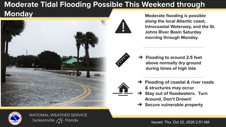
The NWS Jacksonville forecast page describes current minor flooding of up to 1.5 to 1.8 feet above normally dry ground in parts of the river basin, Intracoastal Waterway and Flagler County. For the weekend and early next week, it forecasts flooding around high tides along the river basin, Atlantic coast and Intracoastal Waterway, with water reaching around 2.5 feet above normally dry ground along the coast and Intracoastal Waterway. These are regional forecasts, not predicted depths for every property.
The approaching full moon adds to the tidal concern. The moon is not yet full: the U.S. Naval Observatory places the full moon at 12:12 a.m. Eastern on Monday, Oct. 26.
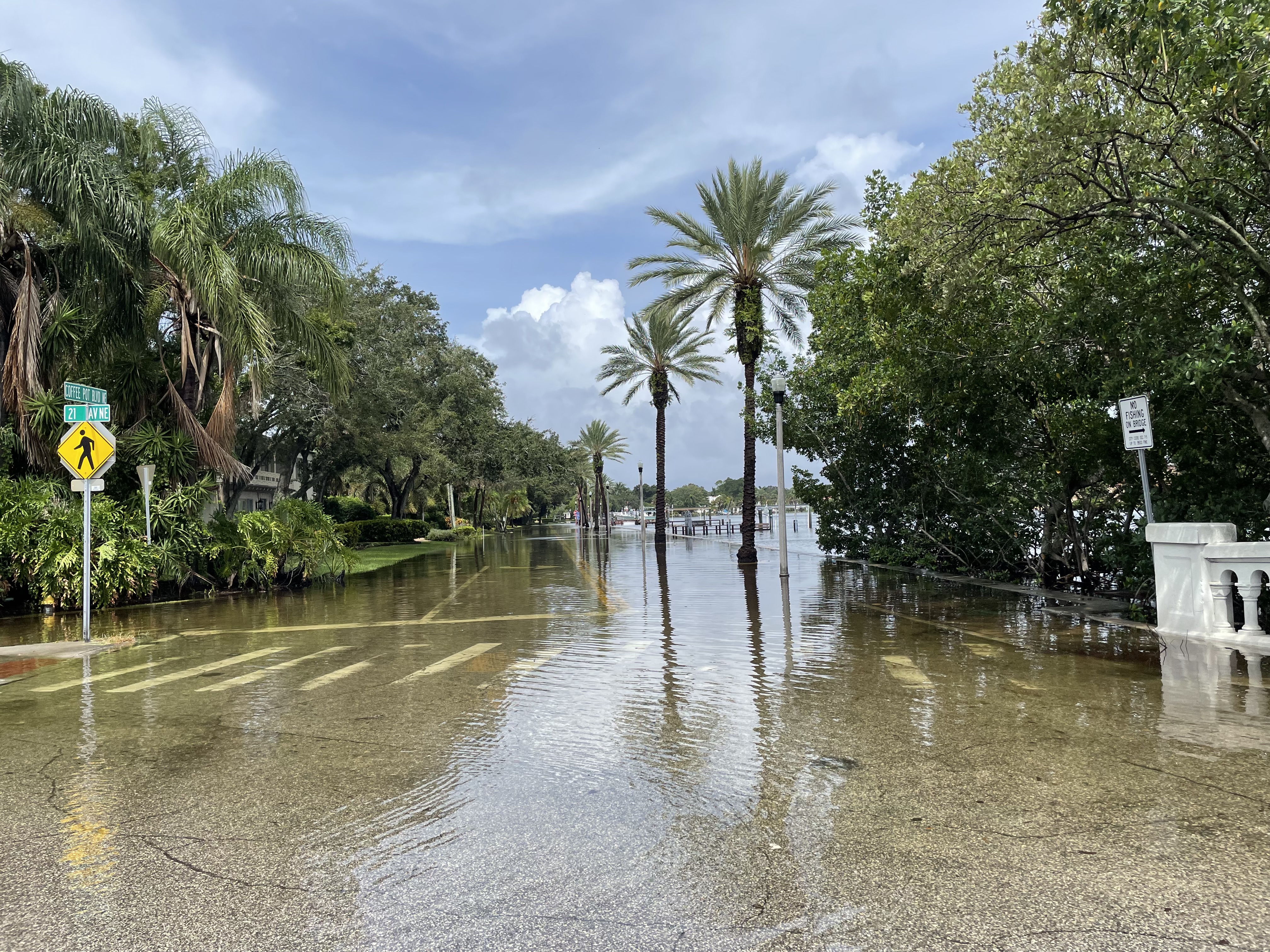
Docks, boat ramps and low-lying roads are particularly vulnerable around high tide, according to the Florida Public Radio Emergency Network. The NWS also expects dangerous surf, rip currents and beach erosion to remain concerns through the weekend.
How to prepare
The NWS advises residents to protect flood-prone property, allow extra travel time and avoid driving through floodwater or around barricades.
Residents can register for Alert St. Johns through the county’s Alerts & Warnings page. Texting StJohnsEOC to 888777 provides Nixle updates from Emergency Management; the county specifically notes those texts are not emergency weather alerts. Residents should use multiple ways to receive weather warnings.
Monitor NWS Jacksonville for updated forecasts and advisories as the weekend approaches.