Gale warnings remain in effect through Monday evening, Oct. 19, for Atlantic coastal waters near Jacksonville. The warnings mean dangerous surf, high rip current risk and minor tidal flooding that could reach the St. Johns River basin.
The National Weather Service Jacksonville issued the warnings after a strong cold front passed through Northeast Florida on Saturday, Oct. 17. Northwesterly winds shifted to north-northeast behind the front, and coastal gusts of 30 to 40 mph are expected to persist through Monday, according to News4Jax.
At Jacksonville Naval Air Station, winds were blowing northeast at 22 mph with gusts to 33 mph as of early Sunday, Oct. 18, according to the NWS forecast page for St. Johns.
The weather service warned that the rip current risk is high, meaning surf conditions are dangerous for all levels of swimmers. Stay out of the ocean. The agency urged beachgoers to follow the advice of local beach patrol and flag warning systems.
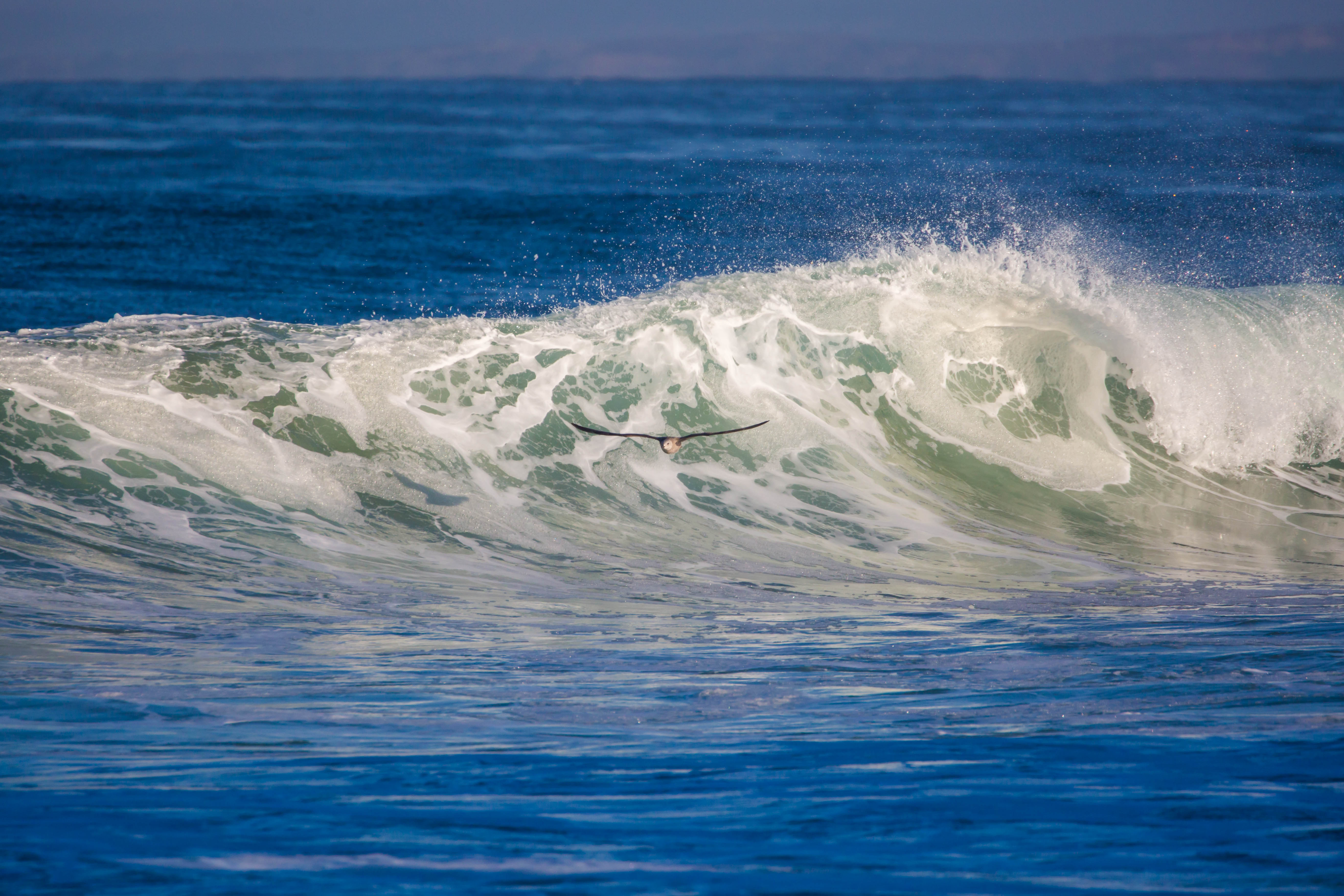
A high surf advisory is also in effect. News4Jax reported that high surf may lead to minor to moderate beach erosion, especially around high tide.
Flooding along the river basin
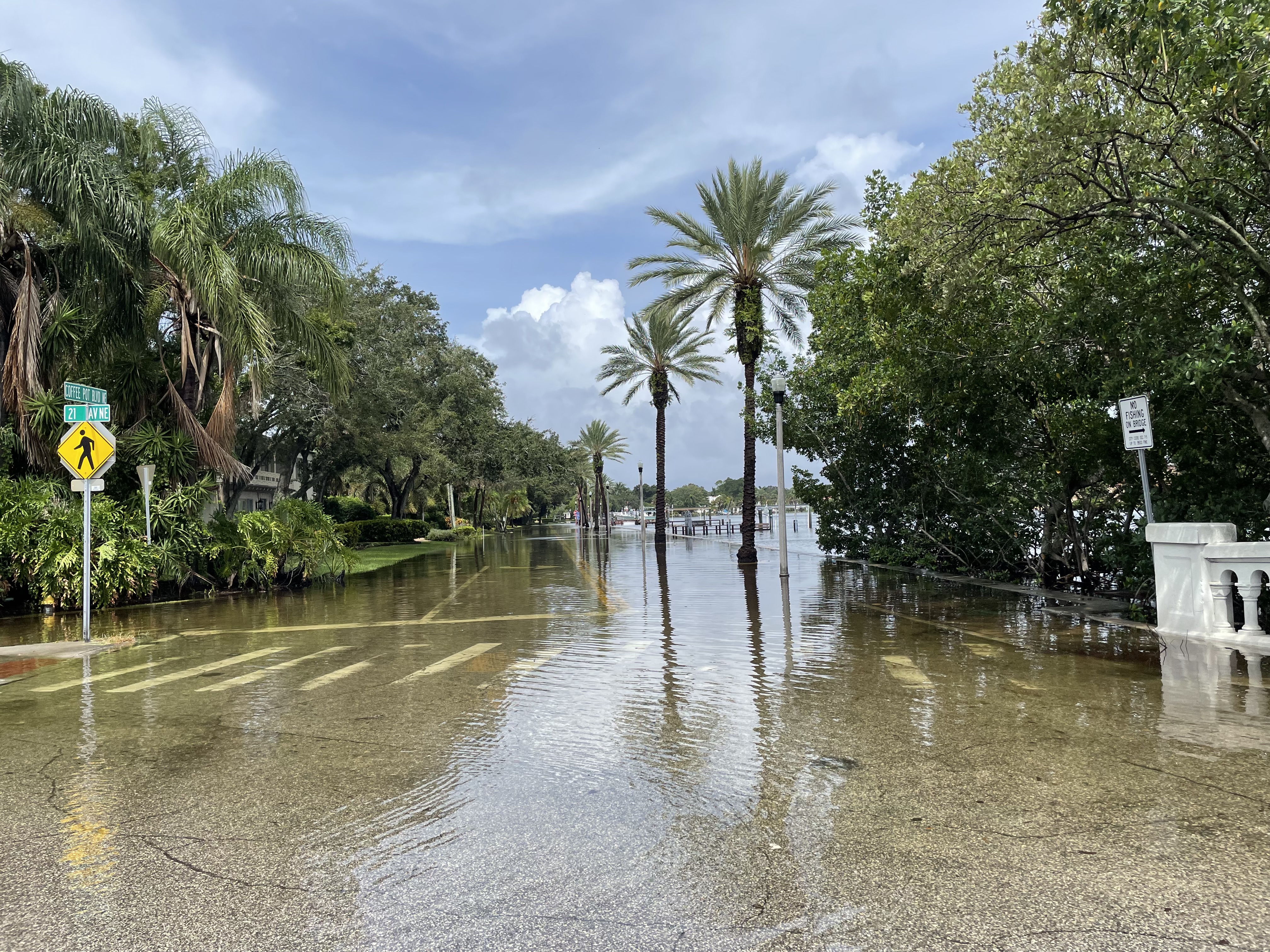
Minor tidal flooding is possible along the Atlantic coast, the Intracoastal Waterway and the St. Johns River basin, according to News4Jax. Residents along the St. Johns River basin should watch for higher-than-normal water levels during tidal cycles.
The NWS Jacksonville website also advised residents to secure loose outdoor items such as patio furniture, sports equipment and trash cans before stronger gusts develop.
Cooler temperatures into the week
The cold front dropped afternoon highs 10 to 15 degrees on Saturday, according to News4Jax's Friday forecast. The NWS forecast for St. Johns calls for a high of 72°F on Sunday with breezy and partly sunny skies, dropping to a low of 63°F Sunday night.
Monday's forecast calls for windy conditions with a high of 73°F and a low of 56°F. Morning temperatures along the St. Johns River basin are expected in the upper 50s to near 60°F, according to Action News Jax.
Coastal and marine hazards could continue into midweek even after the gale warnings expire, News4Jax reported.
Safety tips
The NWS advises anyone caught in a rip current to yell for help, remain calm and swim parallel to shore rather than fighting the current directly. Boaters should check weather conditions before heading out on the water.
Residents can monitor conditions at weather.gov/jax.